SEARCH WEB PAGES
SEARCH RESULTS FOR MAPPING | SURVEYING
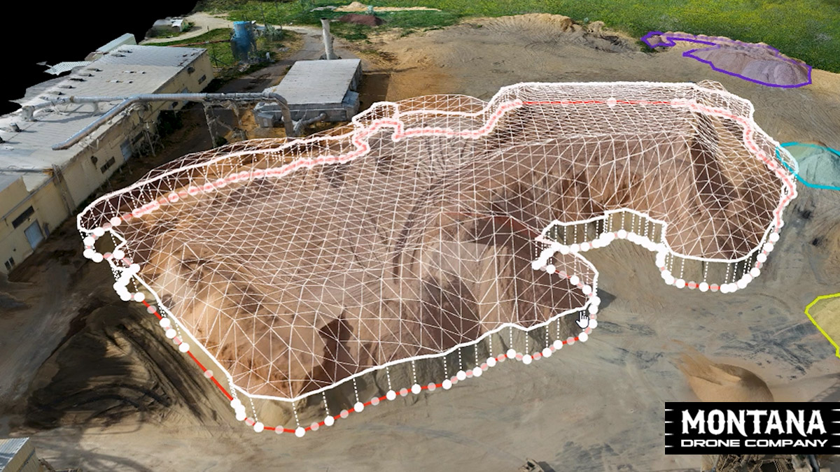
Montana Drone Mapping | Volume Calculations
A great case study to show the usefulness of drone mapping and volume calculations completed through drone services. Roseburg Forest Products in Missoula has MT Drone Co complete an aerial map of their sawdust piles and then provide volume calculations of each individual pile.
A great case study to show the usefulness of drone mapping and volume calculations completed through drone services. Roseburg Forest Products in Missoula has MT Drone Co complete an aerial map of their sawdust piles and then provide volume calculations of each individual pile.
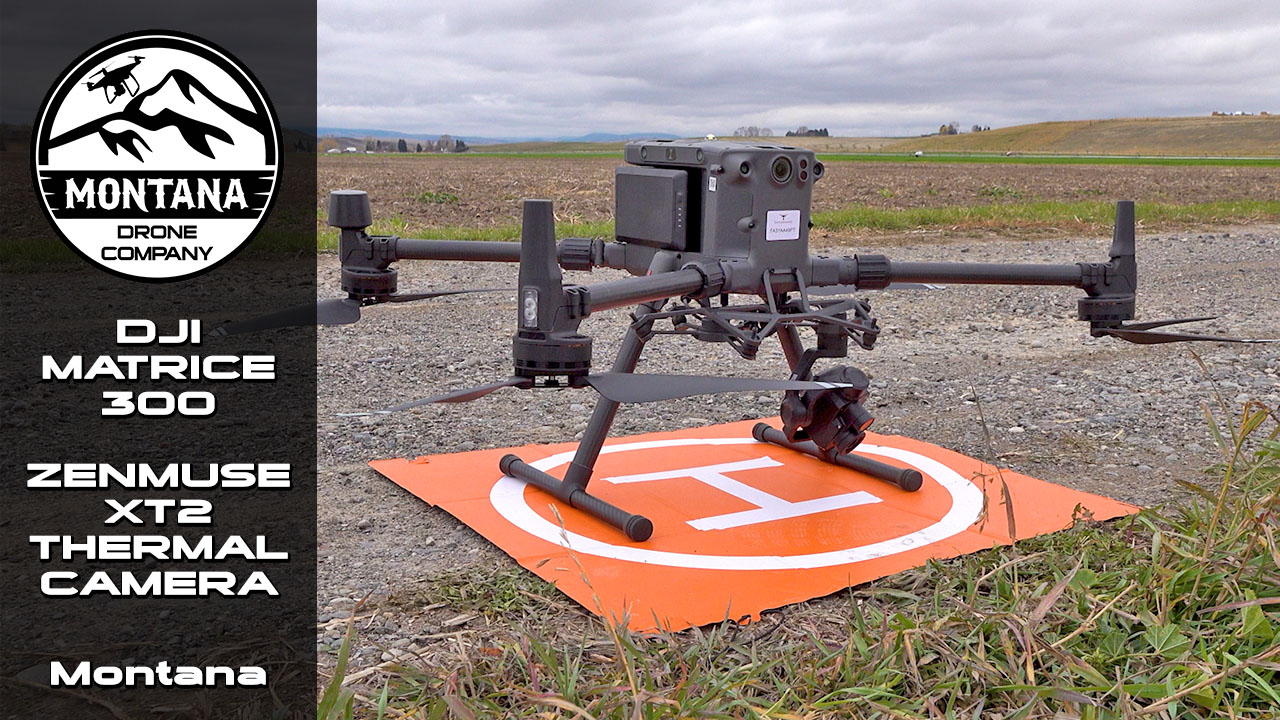
Drone Project: Cattle, Matrice 300, Thermal Camera
Montana Drone Company helped out the Ohio software company called Cattle Quants to perform a number of autonomous drone flights over central MT ranches to acquire both regular RGB images along with thermal captures.
Montana Drone Company helped out the Ohio software company called Cattle Quants to perform a number of autonomous drone flights over central MT ranches to acquire both regular RGB images along with thermal captures.
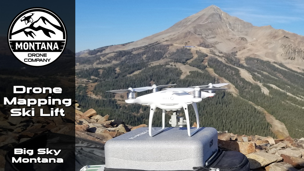
Drone Mapping a Skiing Chair Lift in Big Sky MT
MDC was hired to complete a drone mapping of the Ramcharger ski chair lift at the Big Sky Resort in Montana. We currently use DroneDeploy as our drone mapping software and flew the project with a Phantom 4 Pro v2 drone.
MDC was hired to complete a drone mapping of the Ramcharger ski chair lift at the Big Sky Resort in Montana. We currently use DroneDeploy as our drone mapping software and flew the project with a Phantom 4 Pro v2 drone.
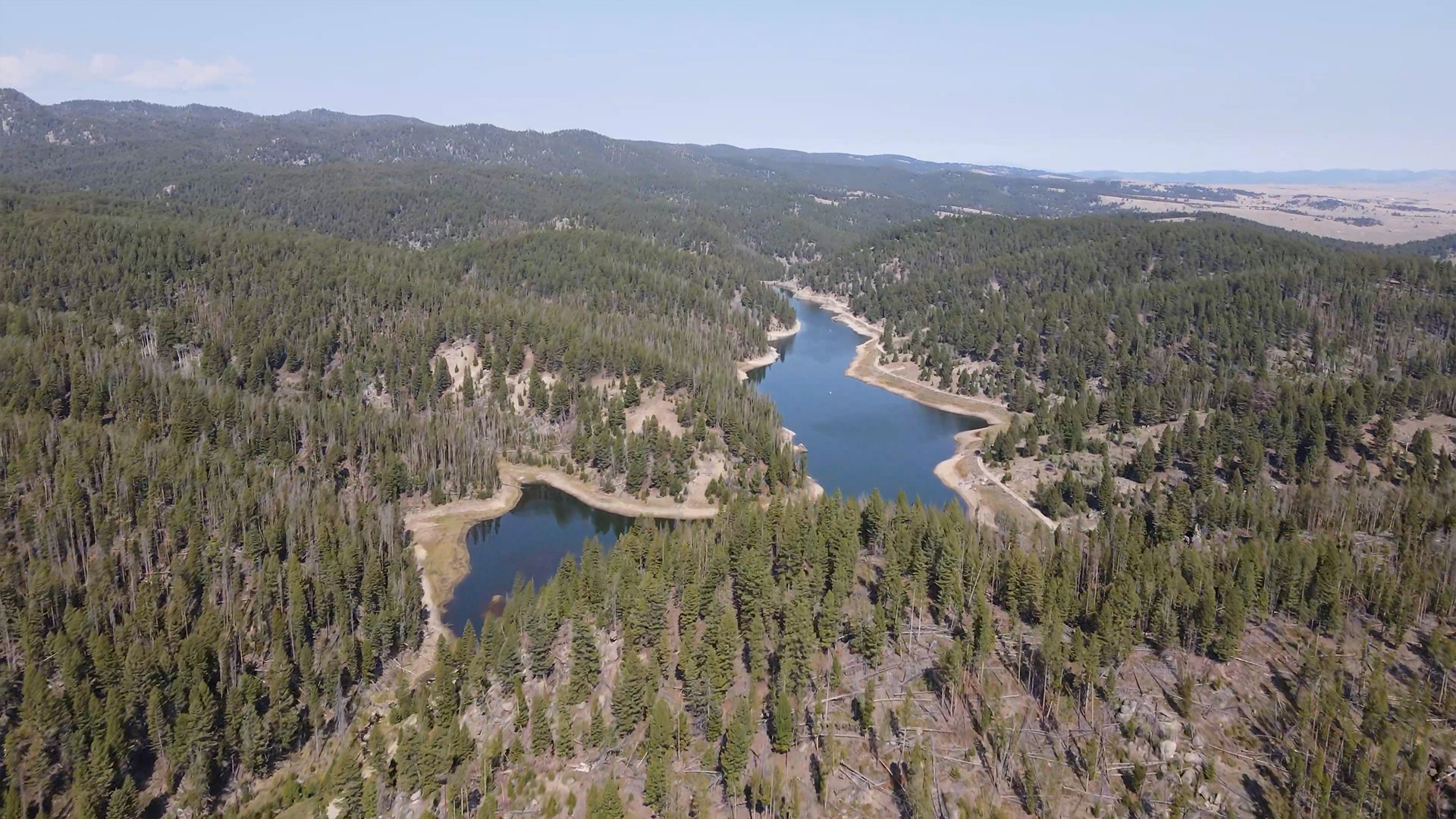
Fuel Reduction proposed efforts to save one of Butte's most cherished water supplies.
Montana Drone Company pieces the story of the Basin Creek Reservoir watershed together to showcase potential problems that a wildfire disaster could create.
Montana Drone Company pieces the story of the Basin Creek Reservoir watershed together to showcase potential problems that a wildfire disaster could create.
Drone Mapping Ennis Airport Expansion Project
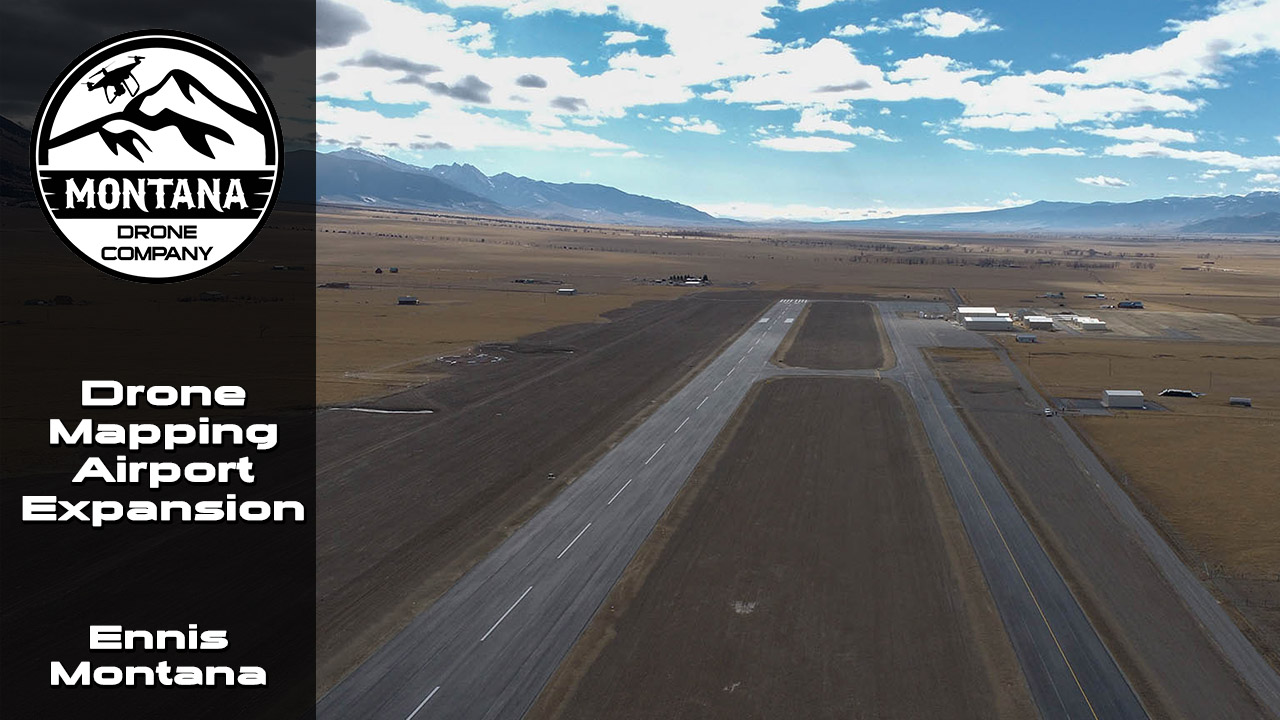
Montana Drone Company was able to provide drone mapping for the Ennis-Big Sky Montana Airport Expansion project in November of 2020. Safety is always priority #1 for a drone flight, but being around a location like an airport is even more critical.
Montana Drone Company was able to provide drone mapping for the Ennis-Big Sky Montana Airport Expansion project in November of 2020. Safety is always priority #1 for a drone flight, but being around a location like an airport is even more critical.
Drone Surveying Montana Railroad Tracks
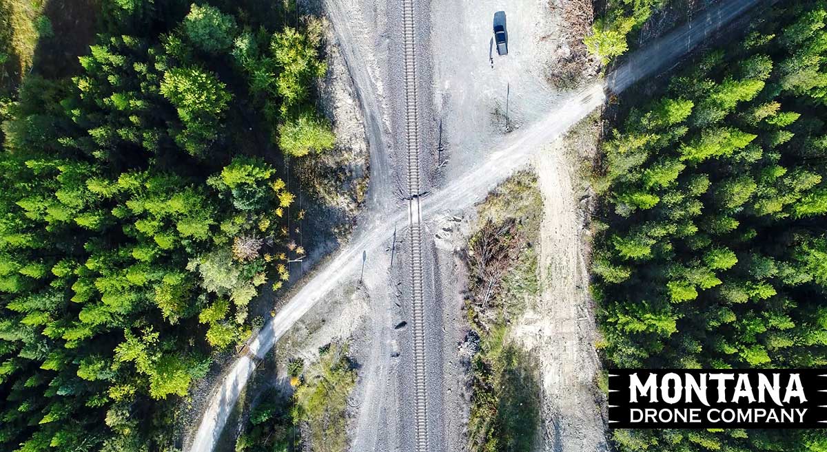
Montana Drone Company hired to complete drone surveying of Montana railroad tracks. In the past a fleet of railroad inspectors would travel miles of railroad by foot checking for signs of wear and tear. With the advancement of drone technology this can now be done quicker and better documented.
Montana Drone Company hired to complete drone surveying of Montana railroad tracks. In the past a fleet of railroad inspectors would travel miles of railroad by foot checking for signs of wear and tear. With the advancement of drone technology this can now be done quicker and better documented.
